

| Title: | Kartografická analýza Kaeriovy mapy Čech z roku 1620 |
| Other Titles: | Cartographic analysis of the Kaerius map of Bohemia from 1620 |
| Authors: | Štrunc, Ladislav |
| Advisor: | Čechurová, Monika |
| Referee: | Červený, Pavel |
| Issue Date: | 2012 |
| Publisher: | Západočeská univerzita v Plzni |
| Document type: | bakalářská práce |
| URI: | http://hdl.handle.net/11025/3192 |
| Keywords: | stará mapa;obsah mapy;jazyk mapy;georeferencování;rekonstrukční mapa |
| Keywords in different language: | old map;map content;map language;georeferencing;reconstruction map |
| Abstract: | Tato bakalářská práce se zabývá Kaeriovou mapou Čech z roku 1620. Analýza se zaměřuje především na obsah a jazyk mapy, pozornost je však věnována také hodnotě číselného měřítka. Deformace mapy je určena pomocí programu MapAnalyst. V prostředí ArcGIS je georeferencován digitální rastr mapy. Je vektorizován obsah mapy a následně jsou vytvořeny rekonstrukční mapy. |
| Abstract in different language: | This bachelor thesis focuses on Kaerius?s map of Bohemia from 1620. The thesis analyzes mainly the content and language of the map but also the numeric scale of the map. Deformation of the map is described by program MapAnalyst. There is a georeferenced digital grid of the map created in the ArcGIS platform. Map content is vectorized and subsequently are created reconstruction maps. |
| Rights: | Plný text práce je přístupný bez omezení. |
| Appears in Collections: | Bakalářské práce / Bachelor´s works (KGE) |
Files in This Item:
| File | Description | Size | Format | |
|---|---|---|---|---|
| BP_Strunc.pdf | Plný text práce | 5,55 MB | Adobe PDF | View/Open |
| Strunc - p. vedouciho.jpg | Posudek vedoucího práce | 289,47 kB | JPEG | 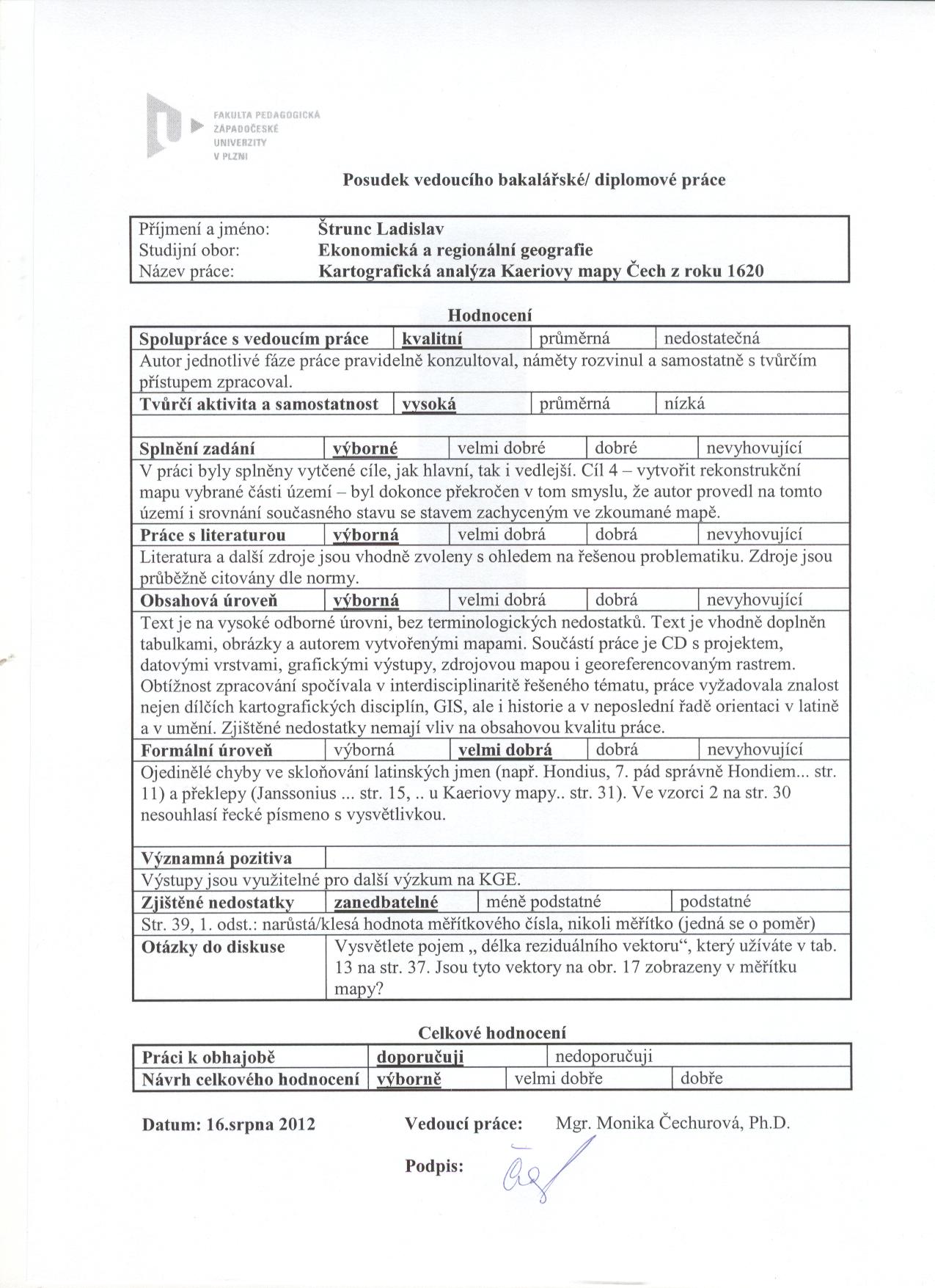 View/Open |
| Strunc - p. oponenta.zip | Posudek oponenta práce | 591,83 kB | ZIP | View/Open |
| Strunc.jpg | Průběh obhajoby práce | 108,31 kB | JPEG | 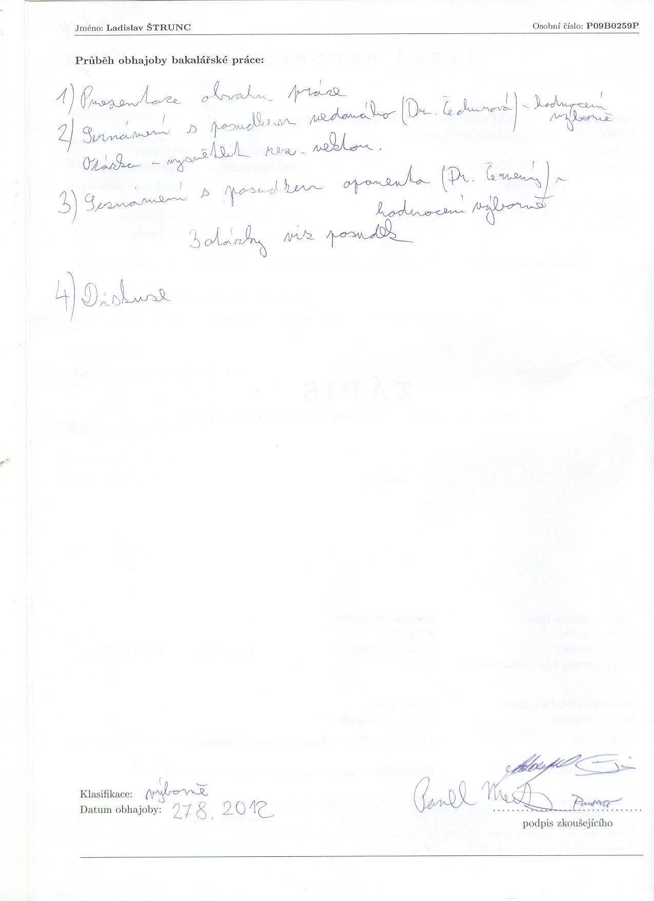 View/Open |
Please use this identifier to cite or link to this item:
http://hdl.handle.net/11025/3192Items in DSpace are protected by copyright, with all rights reserved, unless otherwise indicated.